Olethu Aerials is a geotechnical and exploration company based in Mpumalanga, South Africa, specializing in geophysical surveys, exploration drilling, mine design, and pit monitoring. We combine advanced aerial technology with ground-based expertise to deliver accurate, efficient, and reliable solutions for mining and infrastructure projects.
Surveying and Geotechnical
Surveying and Geotechnical
Our Services

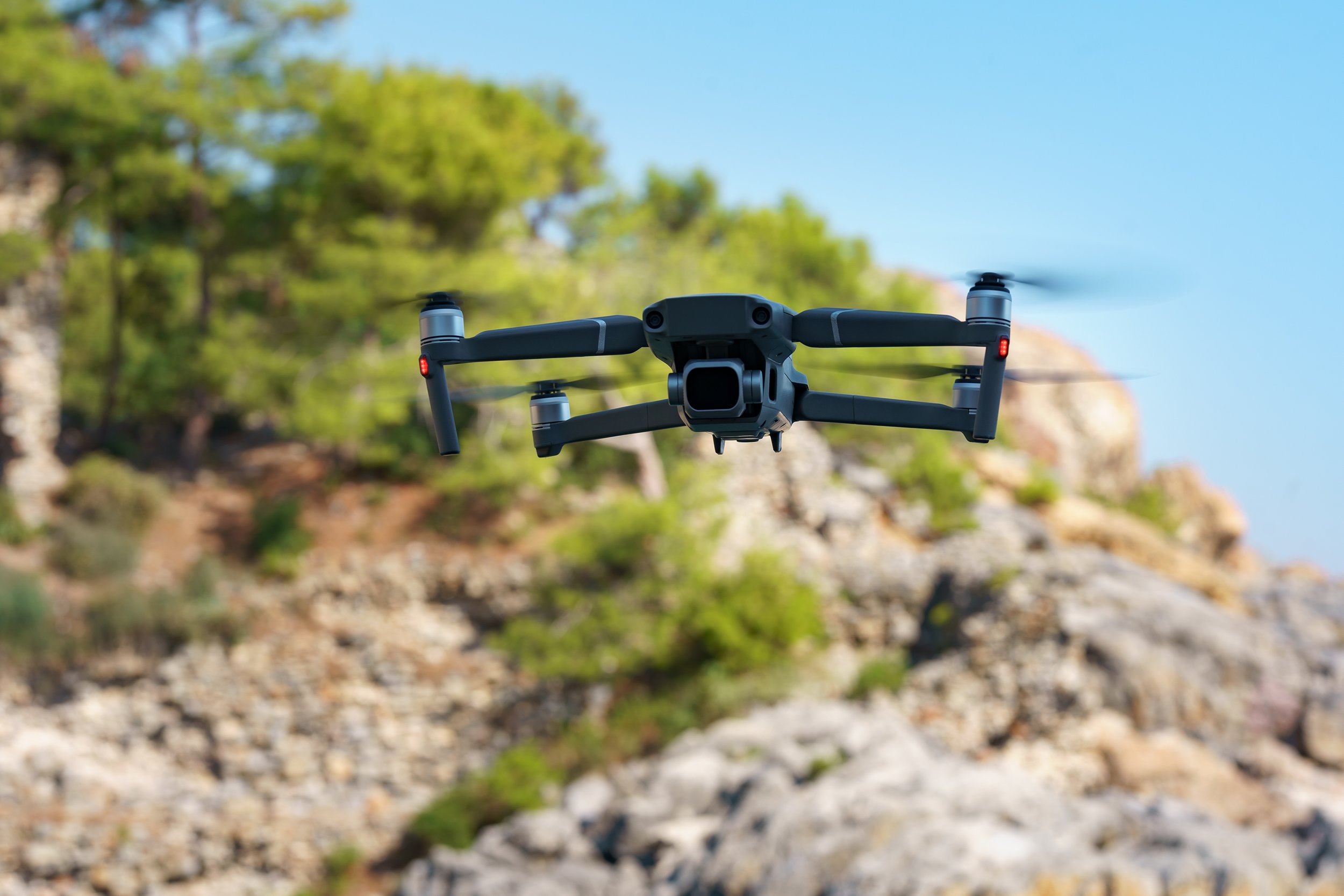
Aerial Surveys
ZAR1000/ha
We simplify surveying task and collect thousands of high accurate data in small period of time. That conclude a faster, wiser, and better decisions made by professionals. Our team has licensed drone pilots to give the best service.

Diamond Drilling
ZAR1250/m
We offer diamond drilling used in the mining industry to probe the contents of known ore deposits and potential sites. By withdrawing a small diameter core of rock from the orebody, our geologists can analyze the core by chemical assay and conduct petrologic, structural, and mineralogical studies of the rock.

ZAR2000/ha
Our surveyors create and maintain accurate plans and maps of your entire mine, including surface layouts and underground workings.

ZAR-POA
Our Geophysical surveys are essential for mining geology because they provide critical insights into the Earth's subsurface, enabling the efficient identification and evaluation of mineral resources.
